Home Projects Research Education Bio News & Press Contact
We provide scientific analysis and guidance to reduce risk, promote sustainable practices, and enhance resilience. We work with government bodies, academic institutions, civil society organizations, policy-makers, and practitioners to address challenges and inform decision-making for a resilient future.
Global environmental challenges are among the greatest tests of our time. At our lab, we bring together science, engineering, and partnership to understand these complex issues and develop solutions that guide humanity toward a more sustainable future.
The problem: Urban flooding is a frequent problem affecting cities around the world. The problem is more significant now that the climate is changing and urbanization trends are increasing.
What are we doing: We are developing models and alert systems that can provide estimates of potential flood areas before the storm.
What for: To inform decision-makers about flooding areas, pavement maintenance, and social vulnerability potential in the affected areas.
The problem: Landslides are among the most common disasters worldwide, frequently leading to considerable economic losses and fatalities. Landslide vulnerability has increased due to urbanization patterns over the past decades, given that at least half of the world’s urban occupants settle at the outskirts of cities at the base of unstable slopes.
What are we doing: We are conducting numerous studies in different geographical regions to develop rainfall thresholds, landslide probability indices, and spatiotemporal mapping of risk.
What for: We are teaming up with global entities (GEO, UNDRR) to help inform decision-makers about the importance and application of Earth Observations for the prevention of landslide impact.
The problem: Climate change brings significant disruptions to our way of living. The ability of a city to adapt to these changes can contribute immensely to its resilience.
What are we doing: We are working with The New York State Energy Research and Development Authority (NYSERDA) and various experts to determine climate change projections, impacts and how NYS can prepare for those changes.
What for: To provide science and information that will allow decision- makers at all levels to make informed choices about their future.
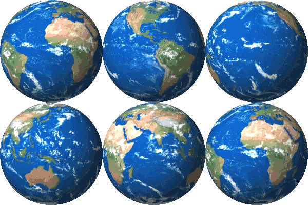
At The Avalon Lab, we view science as a dynamic process of innovation, collaboration, and discovery, a tool with the power to help humanity overcome challenges and transform our shared future.
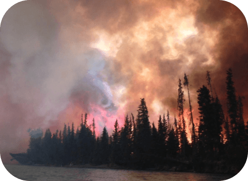
Fires are driven by many different factors like weather conditions, topographic features, and fuels. In the case of the Kenai Peninsula of Alaska, vegetation change is a very influential factor. To determine the relative risk of fire on the peninsula, this NASA Applied Sciences study incorporated some of these factors into a machine-learning algorithm that learns from previous fire events and predicts the probability of future ones.
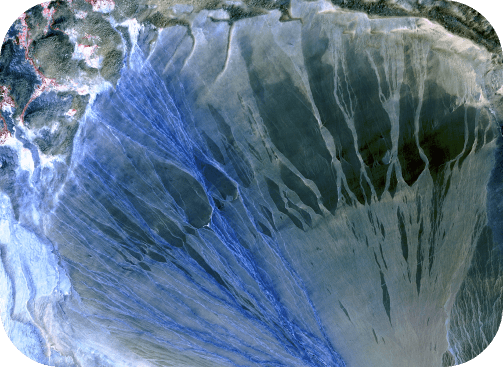
Despite great advances in remote sensing technologies, accurate satellite information is sometimes challenged in tropical regions where dense vegetation prevents the instruments from retrieving reliable readings. We introduce a satellite-based landslide rainfall threshold for the country of Colombia by studying 4 years of rainfall measurements from The Climate Hazards Group Infrared Precipitation with Stations (CHIRPS) for 346 rainfall-triggered landslide events. In the absence of satellite antecedent soil moisture data, this threshold helps describe the interactions between rainfall and slope angle. We name it, the Landslide Triggering Factor—LTF.
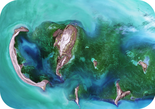
Big Data, Small Island: Earth Observations for Improving Disaster Risk Reduction The Caribbean region is highly vulnerable to multiple hazards. Resultant impacts may be derived from single or multiple cascading risks caused by hydrological-meteorological, seismic, geologic, or anthropological triggers, disturbances, or events. Studies suggest that event records and data related to hazards, risk, damage, and loss are limited in this region. National Disaster Risk Reduction (DRR) planning and response require data of sufficient quantity and quality to generate actionable information, statistical inferences, and insights to guide continual policy improvements for effective DRR, national preparedness, and response in both time and space.
At The Avalon Lab, education is a catalyst for holistic growth. Teaching and learning are interconnected processes that shape students into independent learners, critical thinkers, empathetic individuals, and proactive problem-solvers, ready to navigate and impact a complex world.
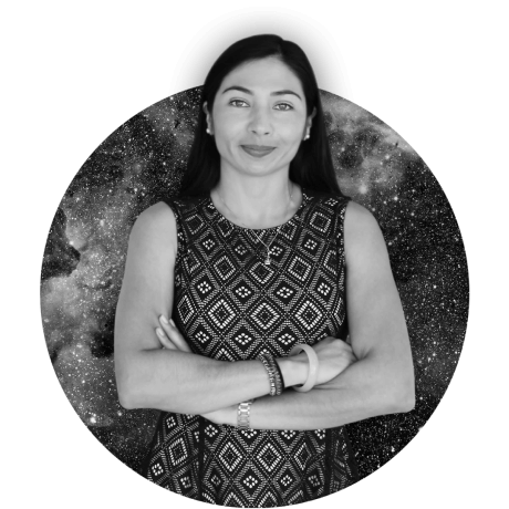
Dr. C. Avalon Cullen - Lead Scientist - is a Physical Scientist and Associate Professor at CUNY specializing in climate resilience and disaster risk science. She leads interdisciplinary research that combines Earth Observations, data science, and machine learning to address climate risks in vulnerable regions, particularly Small Island Developing States and Latin America. Dr. Cullen has advised the New York State Climate Impacts Assessment and collaborated with NASA, GEO, UNDRR, and regional governments and universities to advance practical solutions for sustainability and resilience.
Please see our new developments, outreach, and media appearances below
Landsat imagery courtesy of USGS/NASA Landsat